


Beauregard (circuit de)

Patricelecerf
User
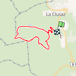

Length
8.3 km

Max alt
1639 m

Uphill gradient
656 m
Km-Effort
16.9 km

Min alt
1064 m

Downhill gradient
626 m
Boucle
No
Creation date :
2018-01-10 08:27:14.324
Updated on :
2018-01-11 09:08:23.549
3h12
Difficulty : Very easy

FREE GPS app for hiking
 SityTrail
IGN / Geographical institutes
SityTrail Plus
The world is yours!
About
Trail Touring skiing of 8.3 km to be discovered at Auvergne-Rhône-Alpes, Upper Savoy, La Clusaz. This trail is proposed by Patricelecerf.
Description
Petite boucle très intéressante :
- Pour l'initiation
- En cas de risque d'avalanches marqué
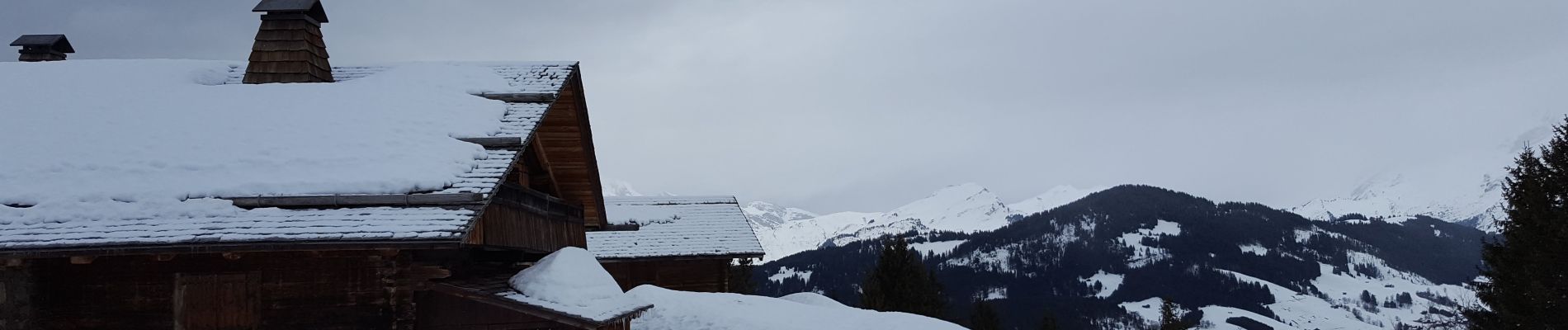
Photos
 - Photo 1")
Positioning
Country:
France
Region :
Auvergne-Rhône-Alpes
Department/Province :
Upper Savoy
Municipality :
La Clusaz
Location:
Unknown
Start:(Dec)
Start:(UTM)
300222 ; 5085886 (32T) N.
Comments